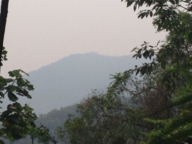
 A view of the peaks of Bukit Penda just off to the left of the trail at about the 0.8km point
Malaysia, Negeri Sembilan, Mantin
523m | 4.1 km | 1:23 hours
Seremban is separated from Selangor by the Galla, Penda and Gangis hills. If one is travelling from Kajang on the old trunk road (Route 1) to Seremban, Bukit Galla will be the first to appear on the right hand side, just before Mantin. After Mantin, Bukit Penda will the peak on the right hand side while Bukit Gangis will be on the left hand side.
This was an attempt to climb Bukit Penda. We weren't sure if there were ready tracks to the peak although satellite maps seem to indicate that the hill is littered with trails. Given the location of the peak, if there was a track to the peak AND if there is break in the tree cover AND if the weather was good then the peak should afford great views of the vicinity of Seremban, including the mountains to the south (Gunung Angsi) and west of Seremban (Gunung Berembun). Lots of ifs...

