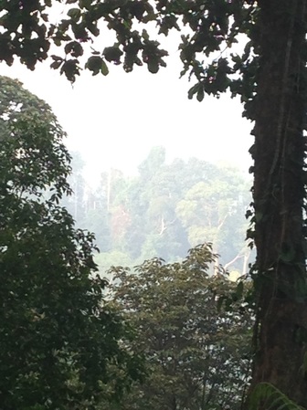
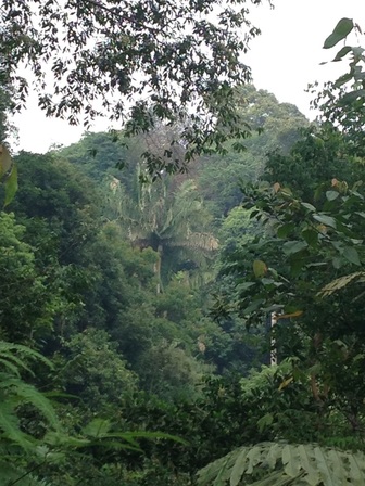
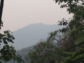
 A view of the peaks of Bukit Penda just off to the left of the trail at about the 0.8km point
Malaysia, Negeri Sembilan, Mantin
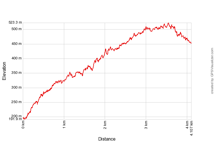
523m | 4.1 km | 1:23 hours
Seremban is separated from Selangor by the Galla, Penda and Gangis hills. If one is travelling from Kajang on the old trunk road (Route 1) to Seremban, Bukit Galla will be the first to appear on the right hand side, just before Mantin. After Mantin, Bukit Penda will the peak on the right hand side while Bukit Gangis will be on the left hand side.
This was an attempt to climb Bukit Penda. We weren't sure if there were ready tracks to the peak although satellite maps seem to indicate that the hill is littered with trails. Given the location of the peak, if there was a track to the peak AND if there is break in the tree cover AND if the weather was good then the peak should afford great views of the vicinity of Seremban, including the mountains to the south (Gunung Angsi) and west of Seremban (Gunung Berembun). Lots of ifs...
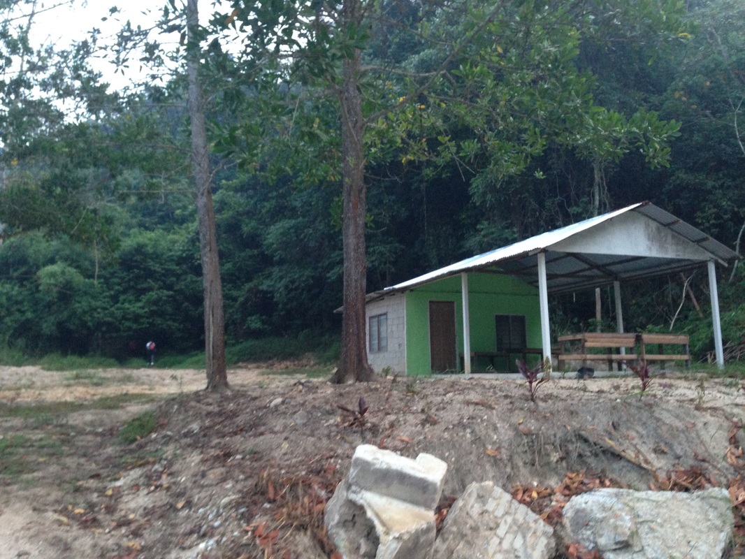
We chose the track that seems to start from the guard house of the Mantin Rifle Range. Starting off from KL, we took the Lebuhraya Kajang-Seremban (LEKAS) in the direction of Seremban. After passing the Mantin exit, we took the Temiang exit. The exit joins with the old north-south trunk road - we took a right turn to head back up towards Mantin. After driving about 4 mins (3.8 km) we came to the Mantin Rifle Range on the left. Just immediately after the rifle range guard house is a small building that looks like a canteen. The trail starts at the back of the building.
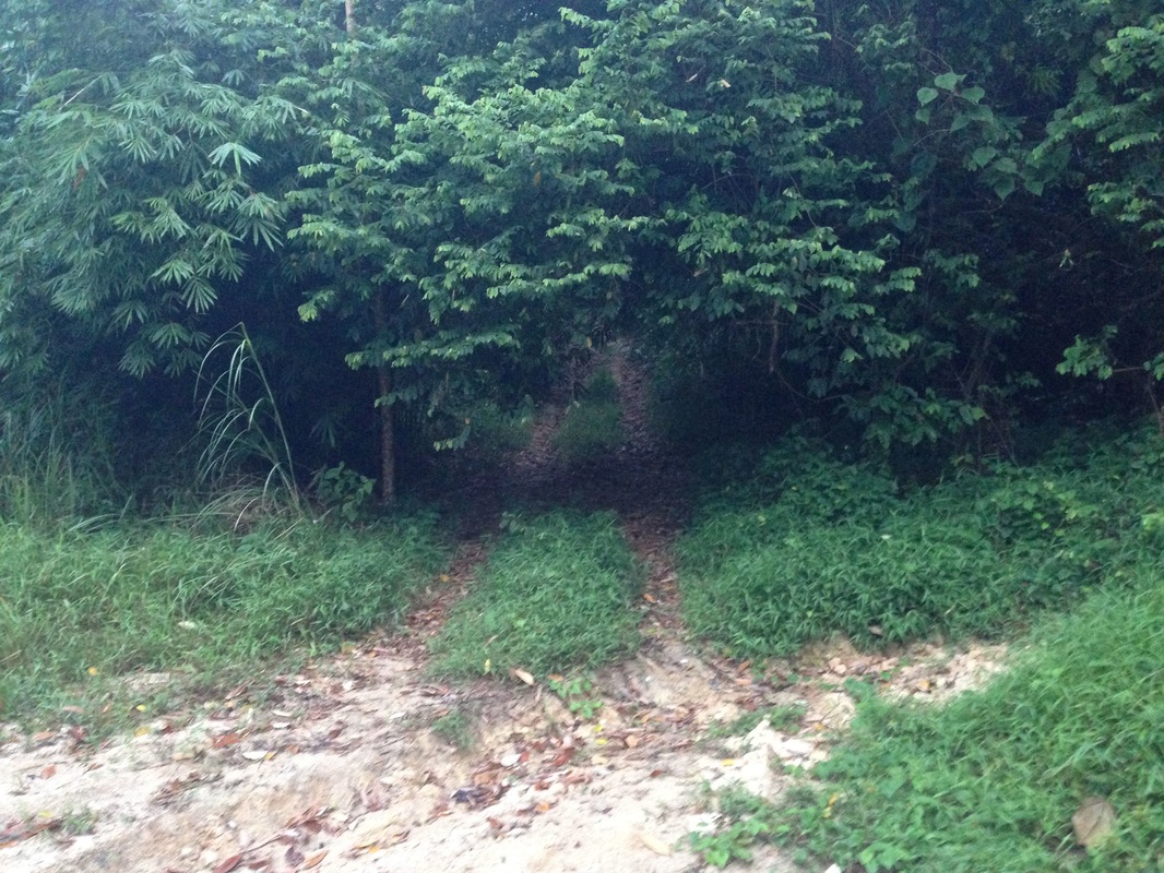
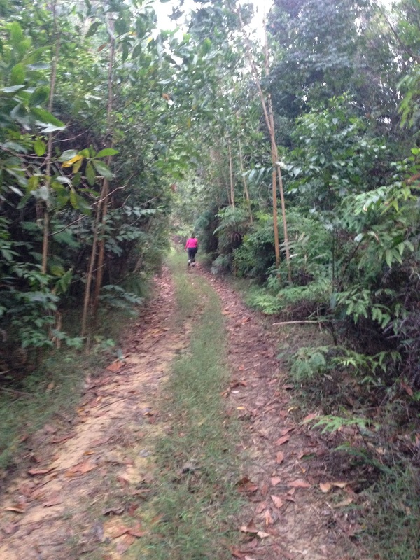
It is a wide 4x4 trail. The first 15 minutes is steep but the track levels off after that although it never stops ascending. There is a point just near the beginning which affords a view of the peak (on the left). At the 1 km point, there is a junction, with the main path turning left. We followed the left path. After this point, there are a number of places with views to the valley on the right (towards the north). The visibility on the day was very poor and we couldn't see far, but I presume the view is towards Mantin town.
At the 2.8 km point we saw what seemed to be the peak about 100m directly in front of us. But the path leaned to the right of the peak and circumvented the peak. I thought that perhaps the path would attempt to ascend the peak from the back, but it did not. The path continued past the peak and then on towards another lower peak on the right. About half way to the 2nd peak, I noticed another path towards the left heading towards another (3rd) peak further to the back of the 1st peak. But this path was severely overgrown with weeds and was difficult to traverse. We continued on the main path. As we got closer to the 2nd peak, again the path veered off, this time to the left, bypassing the peak and then heading lower beyond the 2nd peak. We noticed however that there was was what seemed like a path overrun with ground plants that led in the the direction of the 2nd peak. It was too heavily overgrown for us to attempt without a parang
We turned back once it was clear that the main path was heading downwards. The main path was still wide and it certainly led somewhere beyond. The direction it was heading was towards the valley between Penda and Galla, perhaps to Mantin. Finding out where it ends up would be an interesting excursion by itself!
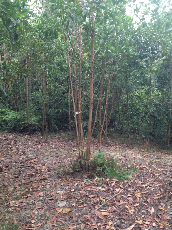
As we were heading back, we kept a lookout for any signs of trails towards the first peak. We noticed a place (at the 3 km point from the start) where we saw enough of a break on the ground cover to scramble up the hill side. From there we squeezed past trees on to a ridge and then followed the ridge all the way to the highest point, at 545m. There was nothing there, no signs of the place ever being treated as a prominent peak. Certainly no view points. Disappointing, but still it was satisfying to know that we reached the peak of Bukit Penda. Or at least that is what I thought. Upon returning home, I discovered that the map that I had with me was incorrect. The 3rd peak at the back was higher than the 1st, and that would have been the true peak of Bukit Penda.
We made our way back to the main path, and from there down to the road.
Trail Map and Data
View map fullscreen | View on Everytrail | Download GPX file
| Location: | Mantin |
| Distance: | 4.1 km |
| Duration: | 1:23 hrs |
| Average Speed: | 3.2 km/h |
| Min Elevation: | 192 m |
| Max Elevation: | 523 m |
| Vertical Up: | 404 m |
| Vertical Down: | 147 m |
Related Posts
- Bukit Galla
- Gunung Angsi
- Gunung Berembun
