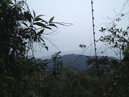
 A view back to Pine Tree Hill on the journey home
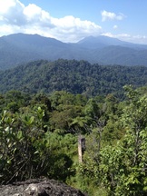
Malaysia, Pahang, Frasers Hill
1453m | 7.0 km | 4:04 hours
This trip was to commemorate our first anniversary since the Sunday Trekking Group got together. Our first trip was a walk up Fraser's Hill from Gap and it was only fitting that we celebrate with another hike at Fraser's!
It was an overcast day with a lot of moisture in the air. It didn't help that the past few days were rainy ones, the path was wet and muddy making our journey slow and laborious. From our previous experience with Pine Tree, we know it can be a lovely trail with its wide dry-leaf covered paths and wood lined steps. But today, the slippery floor made it so much less pleasant and a few of us found it quite tiring.
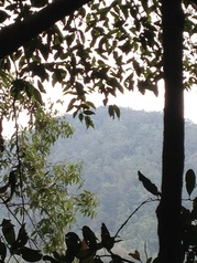