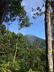
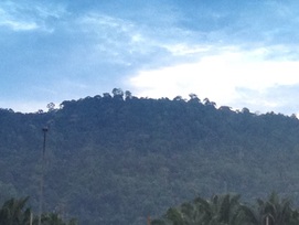
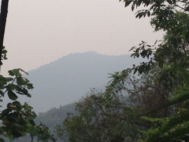
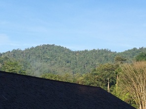
 Bukit Lagong peak seen from the east
Malaysia, Kuala Lumpur, Kepong
563m | 11.8 km | 6.1 hours
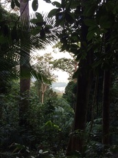
UPDATED: This is our sixth attempt to reach the peak of Bukit Lagong, and we finally made it!. The trail was there alright and the peak was exactly where I had estimated it to be. The trail though was badly overgrown and the journey, especially the last two kilometres was arduous as we had to hack along the way while scouting around for the trail. We have cleared as much of the path as we could to make it easy and obvious for hikers, and we have laid direction signs at tricky junctions to spur people on.
563m | 11.8 km | 6.1 hours
UPDATED: This is our sixth attempt to reach the peak of Bukit Lagong, and we finally made it!. The trail was there alright and the peak was exactly where I had estimated it to be. The trail though was badly overgrown and the journey, especially the last two kilometres was arduous as we had to hack along the way while scouting around for the trail. We have cleared as much of the path as we could to make it easy and obvious for hikers, and we have laid direction signs at tricky junctions to spur people on.