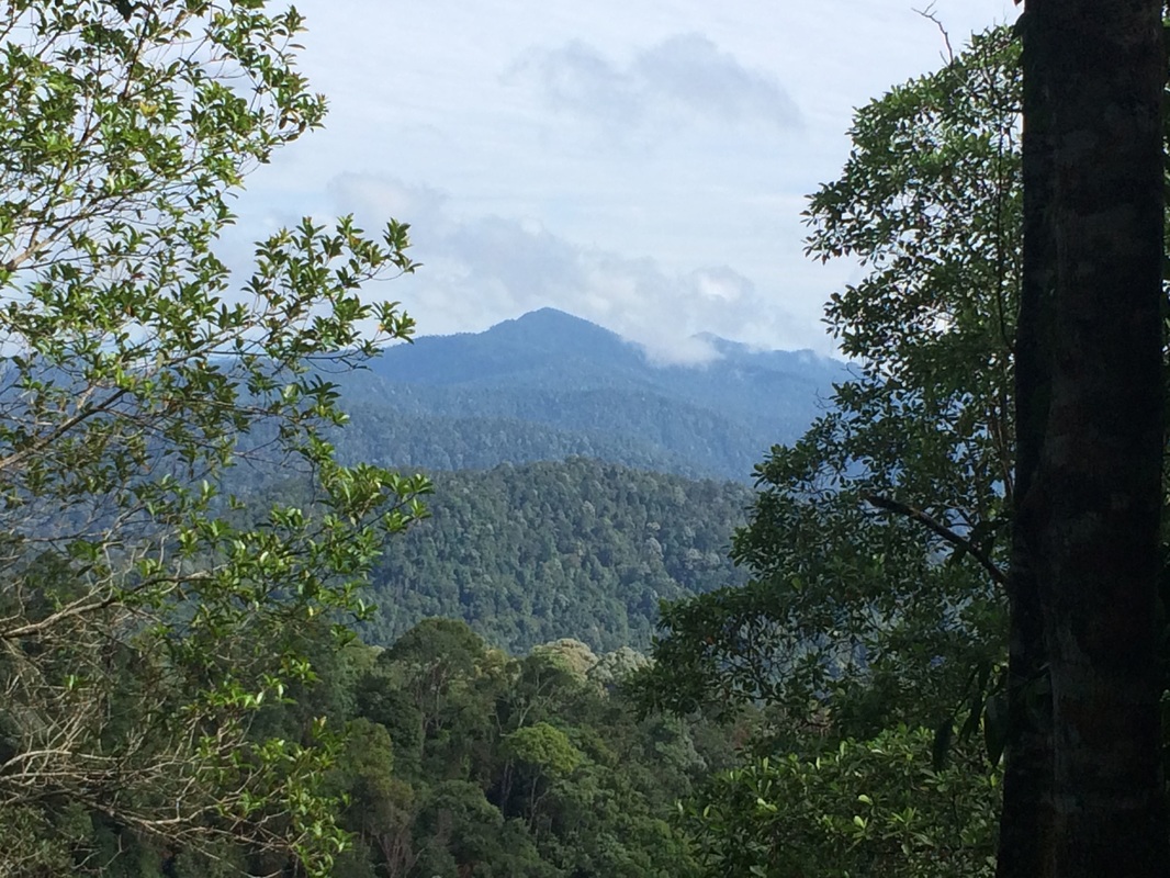
 View of the Keledang peak from along the tarred road
Malaysia, Perak, Mengelembu
813m | 11.1 km | 4 hours
Bukit Keledang is the highest peak in the southern part of the Keledang Mountain range. It's situated between the Kinta and Perak river valleys and frames Ipoh on the western side. Given it's location between two river valleys, and open flat land on the southern side, I expected it to offer unobstructed views of the mountains in the Main range as well as the mountains on the Bintang/Bubu range. And Keledang didn't disappoint.
At the peak, there is a plethora of telecom and TV broadcast towers with the highest point being occupied by an RTM antenna. In addition to many recreational paths at the foot of the mountain, there are 3 routes that lead to the peak. The first is a paved access road for the various telecom towers. This is the longest, but as you can imagine, the least steep route. It starts from Jalan Keledang and twists its way all the way to the top. It has the best views.
Entrance to the path on the left of the road. This is the path with the brick steps
|
This is the entrance to the jungle path. It's on the right side of the road, exactly opposite the other entrance
|
The second route is the "stairways" route. It starts at the Keledang car park and joins the paved road mid way. This also offers wonderful views. The initial portion is somewhat steep, but levels out to about 4% gradient once it meets the paved road.
Condition of the left-side path. It is initially a wide laterite path reinforced with tyres
|
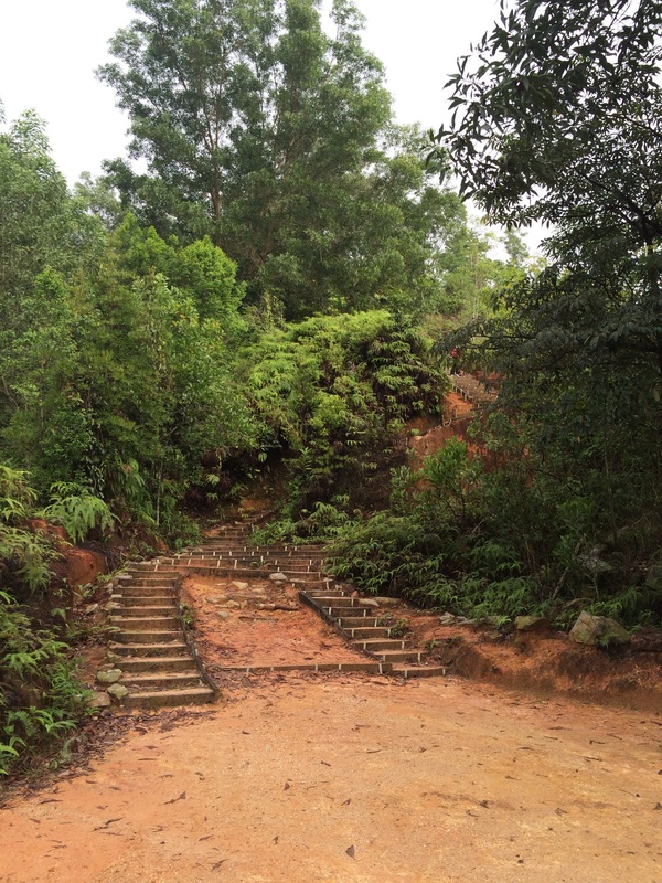
Start of the brick stairs
|
The last route is a jungle path. Though it has good views at the start of the trail, the views disappear after entering the jungle proper due to the abundant foliage. It's the steepest but shortest route to the top. The starting point for the jungle path is at the same point as the "stairways" path, but on the opposite side of the road. It's therefore possible to make a circle, starting on one path and finishing on the other. There are two interconnecting paths joining the stairways and jungle routes at the quarter and half-way point, giving hikers many combination of routes to enjoy.
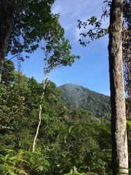
Meteorological station at the top of the first flight of stairs
|
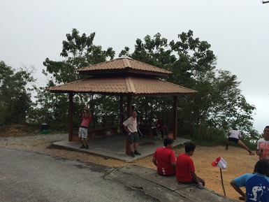
Rest area at the top of the second flight of stairs
|
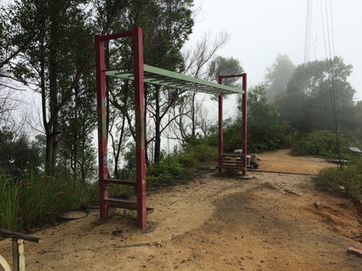
An additional flight of steps leads to the exercise station replete with monkey bars and push up bars
|
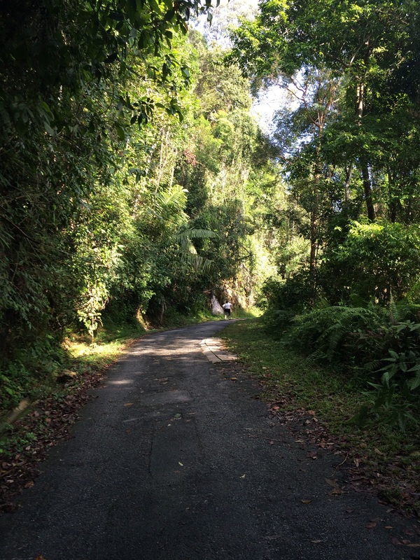
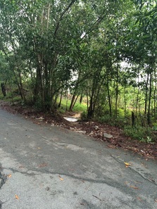
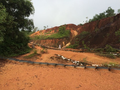
Condition of the tarred road
|
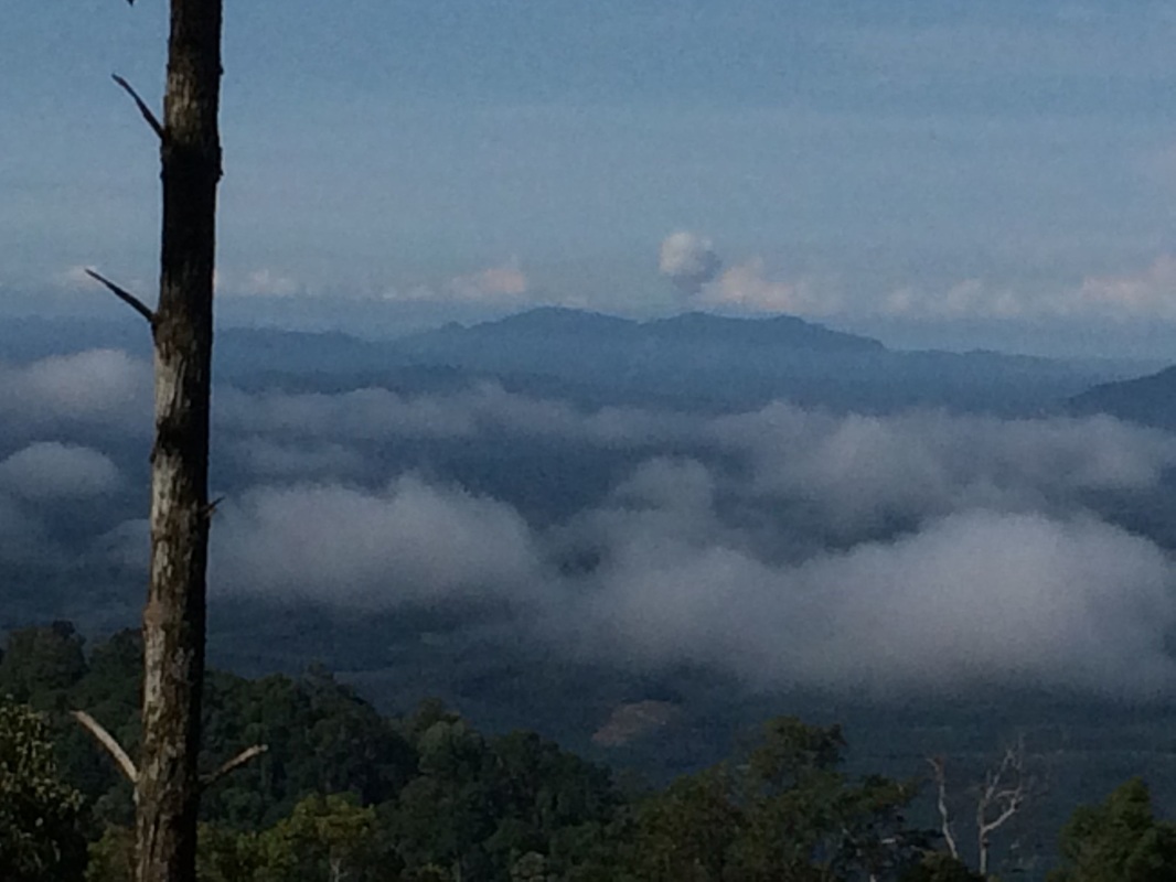
We took the stairways path up and returned via the jungle path. The stairways path has many amenities for hikers, including wide and clear paths, many rest areas and even a well appointed “exercise station” at about mid-point. The stairways paths starts as a wide laterite path with a concrete culvert in the middle. After about 300m, the stairways start, and continue on for about 2 km. The stairways path intersects with the paved road at 4 points, with the last being the final joining point where the stairways path gives way to the paved road. All along the stairways path, we are treated with views to the east. Unobstructed views of Ipoh and the mountains of the Main range are available. We could clearly see the limestone hills that Ipoh is famous for, as well as the much larger mountains further east. It was fascinating to see Gunung Korbu, the highest mountain in Perak, as well as Gunung Gayong, the third highest, all to the northeast. On the southeast, we could cleary see Gunung Irau in Cameron Highlands and Gunung Chabang. Gunung Bujang Melaka further south was also easily identifiable.
View to the northeast. The peak to the left is Gunung Korbu, the highest peak in Perak and the second highest in the peninsular. The peak to the right is Gunung Gayong, the 4th highest peak in the peninsular. Sighted at a distance of about 35 km from the slopes of Gunung Keledang
View to the east. The triangular high peak is Gunung Chabang. Behind that and slightly to the left is Gunung Irau in Cameron Highlands. Gunung Berinchang, another famous Cameron Highlands mountain is behind Gunung Chabang and is therefore not visible
View to the southwest. Should be Bukit Sigari near Pantai Remis near the coast. Distance of around 50km
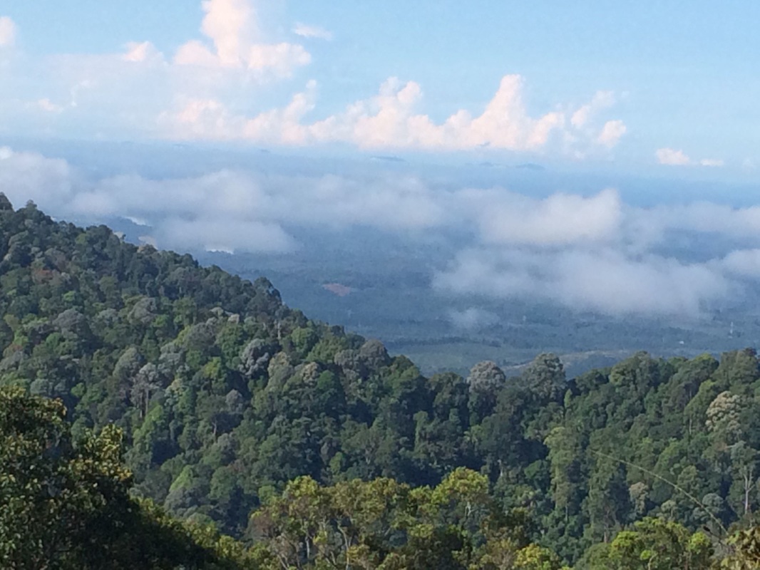
View to the southwest. The coastline can be seen in the far distance. The hazy peaks floating on what seems like clouds are the peaks of Pulau Pangkor and the seaside cliffs in Lumut
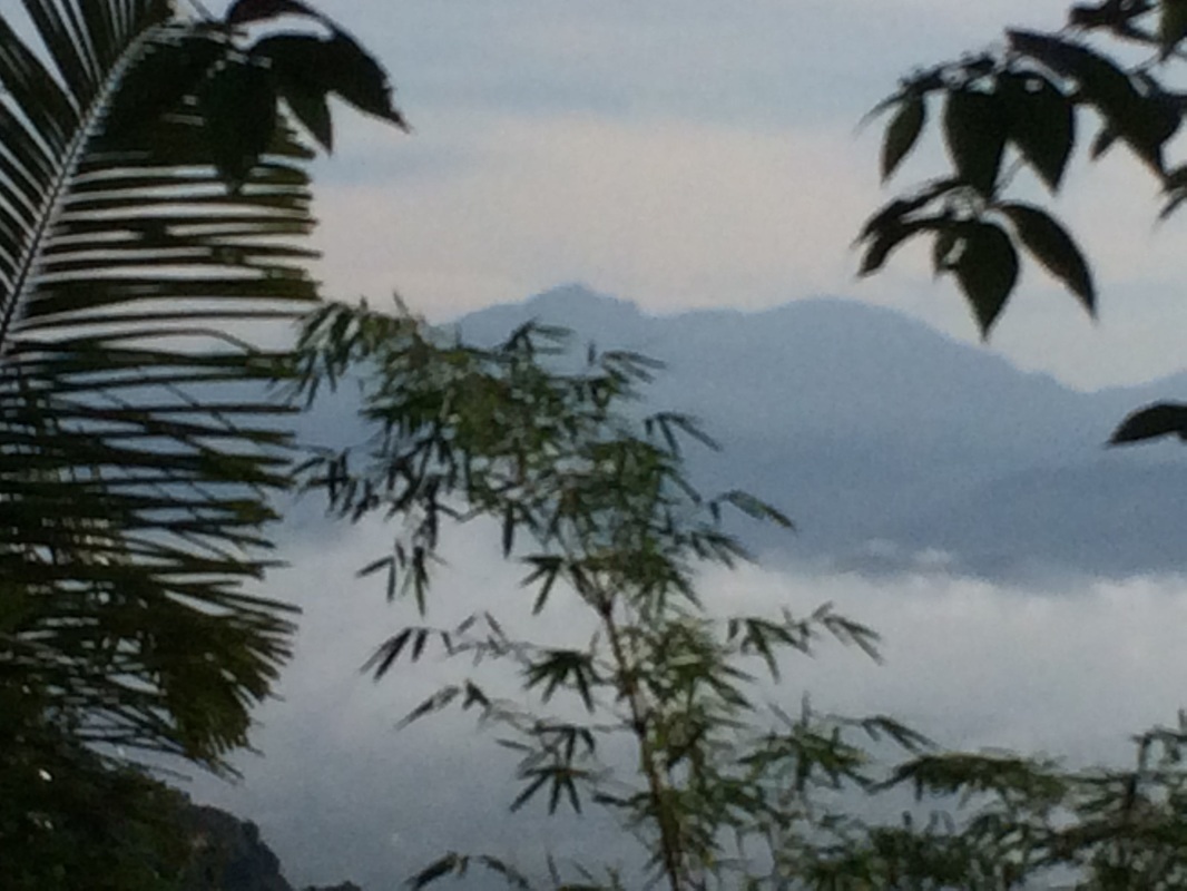
Gunung Bubu to the west. River Perak can be seen flowing between Bubu and Keledang
Gunung Korbu (the triangular peak) and Gunung Gayong (the flatter peak to the right of Korbu)
Mountains of the Keledang range further to the north. The peak in the rear centre is Gunung Peninjau, the highest peak of the Keledang range
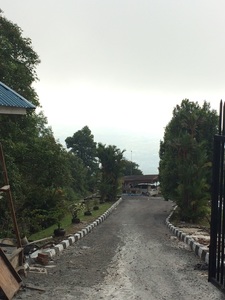
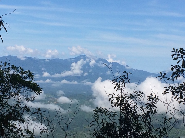
Soon after joining the paved road, views of the peak of Gunung Keledang itself comes into sight. The road continues on, steadily climbing, and after about the 4km mark, the road passes the centre-point of the range and into the western slope of the peak. Now, views on the western flank come into view, including sights of Gunung Bubu, the lush Perak river valley, and far to the southwest, even the coast and Pulau Pangkor. The path follows around the western slope and eventually reaches the highest peak, at which point views to the north also come to sight. There, there are great vistas of the rest of the Keledang range leading northwards with Gunung Peninjau, the highest mountain in the northern half of the range forming the centrepiece.
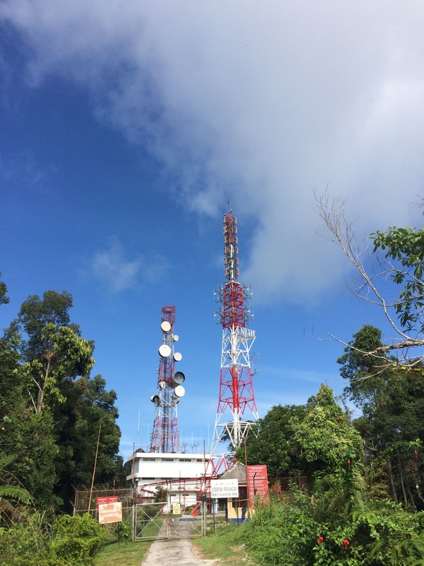
The Telecoms towers at the peak of Gunung Keledang
|
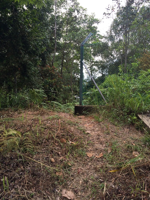
The jungle path is just to the left of the edge of the fence
|
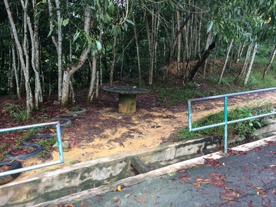
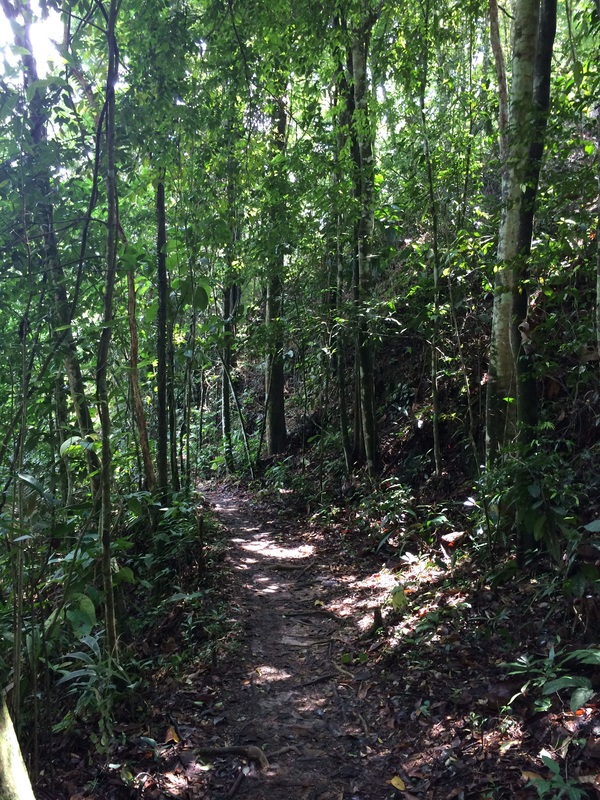
As mentioned earlier, we chose to return via the jungle path. The trail head starts at the end of the paved road, immediately to the left of the green fence of the RTM compound. It's a pretty straightforward jungle trail without much obstacles. No undergrowth to cut through or many fallen logs or thickets to climb over or crawl through. But it is fairly steep and I can imagine going up this trail (instead of down like us) would be pretty strenous. We came across three junctions along the jungle path. The first was at km 2 from the start the jungle trail. It was a cross-junction with a bench in the middle. We took the path that went straight and down (the other two went left-wards and right-wards). The second junction was further below, near the 3km point just after a fast-lowing stream. Immediately after crossing the stream, the path makes a T-junction with another path going left-right. We turned left. I suspect turning right would lead to the paved road. The final junction was at km 4 where a path leads off upwards and to the right of our path. I suspect this again joins the paved road.
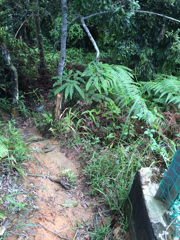
Condition of the jungle path
|
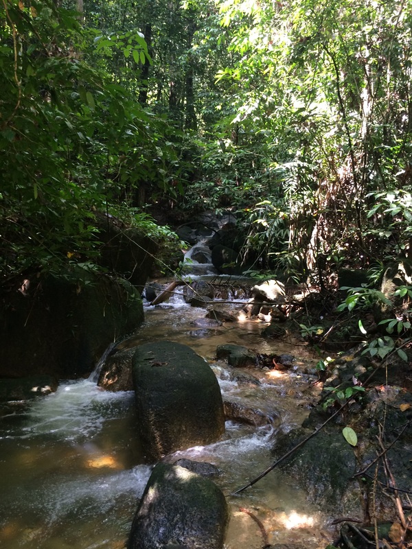
Waterfall near the foot of the mountain
|
Right near the end of the jungle path, the foliage clears and there is a great view of Ipoh to the east. The elevation is not very high, but there are no trees and a 180 degree panorama of Ipoh and the Main mountain range at the rear is available. Further on, a view back to the Keledang peak is available.
All in all a good, safe, well used trail with great views of surrounding mountains. There are also many paths and types of paths to satisfy different needs.
Condition of the trail after the waterfall
|
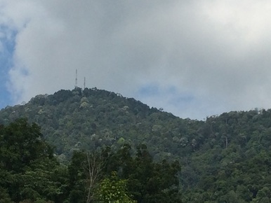
Close-up of Keledang peak
|
How to get there? If coming from Kuala Lumpur on the North-South expressway, exit at Simpang Pulai and turn right after the toll plaza towards Ipoh. At the first traffic light, turn left and follow that road for about 8 km until it intersects Jalan Pasir Puteh. Turn left at the Pasir Puteh traffic light and continue on Pasir Puteh heading away from Ipoh for about 4 km until it joins Jalan Bukit Merah. Turn left and drive for about 500m and then turn right. Drive for another 300m and then turn right on to Lebuhraya Ipoh-Lumut. Continue on Lebuhraya Ipoh-Lumut for about 4km and turn left into Jalan Keledang. This is the "paved road" that will lead all the way to the RTM station. To go to the hiking trails, turn right after about 400m into Laluan Rasi Jaya 7 and then turn left into Hala Rasi Jaya 1. The car park for the hiking trails are at the end of the road. There is ample space for cars. After parking, walk to the end of the road, the stepped path and the jungle trails are on the left and right of the road respectively about 30m before the road ends at a water tank. It takes about 2.5 hours to reach the place from PJ or KL.
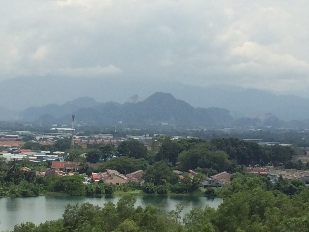
Limestone hills of Ipoh
|
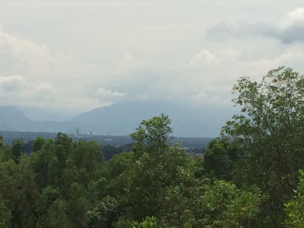
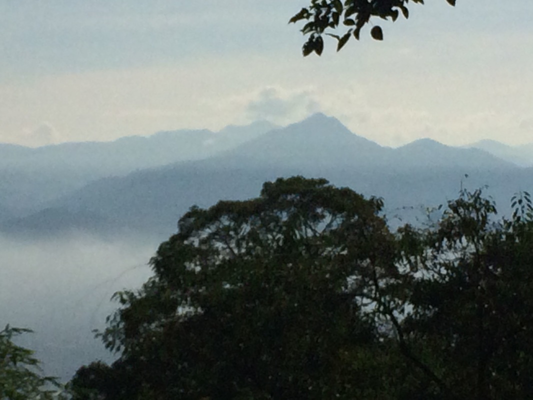
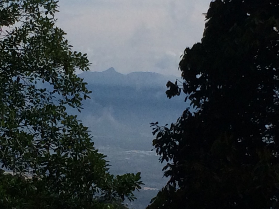
Gunung Bujang Melaka, with its peak shrouded in clouds
|
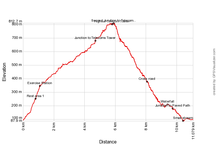
Trail Map and Data
View map fullscreen | View on Everytrail | Download GPX file
| Location: | Mengelembu |
| Distance: | 11.1 km |
| Duration: | 4 hrs |
| Average Speed: | 3.1 km/h |
| Min Elevation: | 88 m |
| Max Elevation: | 813 m |
| Vertical Up: | 786 m |
| Vertical Down: | 786 m |