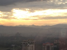
 Long distance view of Gunung Besar Hantu from Kuala Lumpur. It's the tallest peak in the centre of the picture
Malaysia, Negeri Sembilan, Jelebu
1462m | 18 km | 8:16 hours
Gunung Besar Hantu is the highest mountain in Negeri Sembilan, but as far as tall mountains in Malaysia go, at 1462m, Besar Hantu is relatively low. All other states, apart from Perlis, Penang, Melaka and Johor, claim loftier peaks with even Kedah having as its tallest peak a 1862m mountain called Bukit Bintang. Still, it was a hard climb and certainly one of the hardest I have attempted in my rather short climbing "career".
Even getting to the mountain was quite a challenge. It's located in Jelubu district on the northern extreme of Negeri Sembilan, right on the border between the state and Pahang. We drove from KL to to Ulu Langat, and from there attempted to drive via Jalan Sungai Tekali to the Hulu Langat reservoir where we then skirt the lake around the north before joining the Sungai Lui road to the south east across the border via Genting Peres into Negeri Sembilan. Nature however threw us a bunch of spanners. Firstly the Sungai Tekali road was damaged just after Taman Titiwangsa and was constricted to a single lane dirt road for a couple of kilometres. As we had a 4WD, we overcame that challenge but later discovered that the road around the reservoir was totally blocked due to landslides.
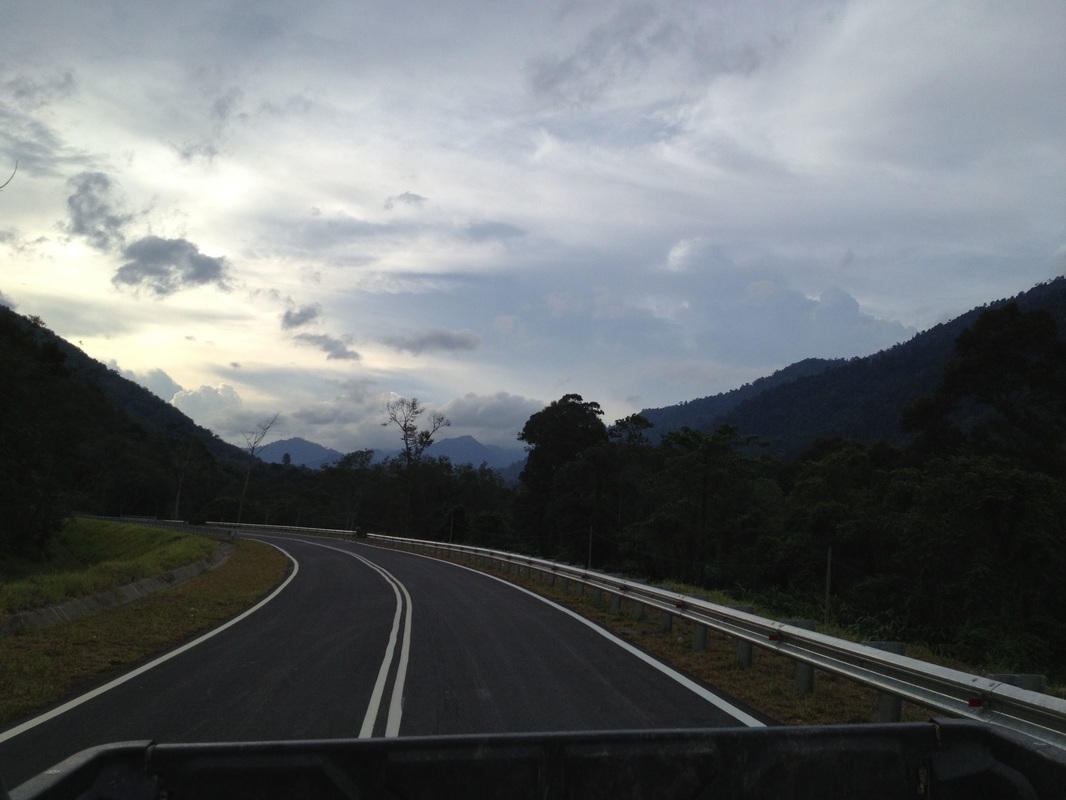
We were forced to double back to Kampung Ulu Langat from where we drove north, passed Kampung Dusun Tua and then turned right into Sungai Lui road. At the end of the road, at Simpang Peres, we took the left turning of the T-junction and drove across the border via Genting Peres. It's a very scenic but wildly twisty road that hugs one side of the Lui river valley between high mountains. We stopped as many times as needed to let the passengers stretch their legs and puke their guts out.
Genting Peres is a narrow mountain pass cutting through the mountain range that divides Selangor from Negeri Sembilan. Once in Negeri, we continued along the road, this time following the Kongkoi river down to Kampung Kongkol where we turned left at the junction into road N25. We drove on this road for 6 km until we reached Kampung Chennah, our destination.
Genting Peres is a narrow mountain pass cutting through the mountain range that divides Selangor from Negeri Sembilan. Once in Negeri, we continued along the road, this time following the Kongkoi river down to Kampung Kongkol where we turned left at the junction into road N25. We drove on this road for 6 km until we reached Kampung Chennah, our destination.
At Kampung Chennah, we had pre-arranged for 4x4 transportation to the mountain trailhead.The 4x4 journey was interesting, to say the least, and our adventure had yet to come to pass. The driver retraced the journey back a few kilometres to Kampung Chua Lebu and then turned right into a newish road that led into the mountains following Sungai Kenaboi. After some distance the surrounding turned into rubber farms and the road turned into a mud track. Soon it became clear that the track was being used by 4x4 adventurers to try their off-road skills. The track had been dug and modified to make it more challenging for offroaders. Our truck got stuck in a deep hole on the road and it took the combined effort of it, another truck and four of us pushing to drag it out from it’s muddy resting place. That was tiring, my legs were quavering from the exhaustion.
After that we finally arrived at the Forest reserve headquarters where we had to register and buy entrance passes. Our truck then took us into the forest on a yet smaller road (although this part was tarred). There are two starting points for the hike to Besar Hantu. The first one starts along the small road. The other one starts at the waterfall (Lata Kijang) which is situated at the end of the small road. We took the first trail, which was an abandoned logging trail with deep tyre ruts in many places and full of leaf and mud, making it very slippery.
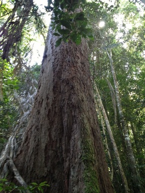 Giant tree along the way
Our two guides turned up with a scrambler and suggested that we use the motorbike to go as far as possible on the logging trail as the journey is very long and they did not want us getting tired prematurely. Also, all the delays added up and we were pushing the turn-around time limit. I was alternatively worrying about how bumpy the ride is going to be and wondering how the motorbike will fit all five of us. Well, apparently the guide takes us one at a time! Of course. But my first fear was well founded, as when it was my turn on the bike, we fell off the bike twice and finally had to abandon the bike and continue on foot. At the 1.5 km point we came across a path joining from the left. This was the path from Lata Kijang. Eventually I caught up with the others who had an earlier start on the bike and a longer motorised journey. But by know I was tired after the long drive to Kampung Chennah, all the effort in rescuing the 4x4 and finally the long hurried walk and multiple falls from the motorbike. At last we arrived at a pitstop by a river which was called Sungai Kering. It wasn't really kering, it was quite wet with fast flowing water.
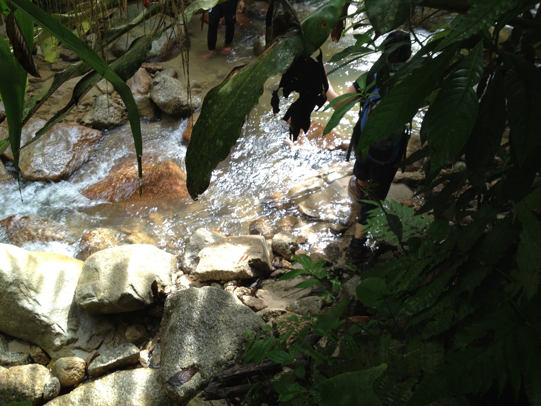
One of the earlier blogs mentioned that the path crosses the river and continues on the other side. But we took a different path, one that was on the right just before reaching the river. At a point further north, we did cross a stream, this one much smaller than at Sungai Kering checkpoint. The trail from Sg Kering onwards was narrower and varied from a walk through tall grass and thorny weeds, jungle walk and mud trails. It wasn’t particularly steep, but it was again very long and relentlessly climbing. By now I was exhausted, and it didn’t help that my trusty cotton jeans was now soaked through with dew from shuffling through the tall grass and it weighed a tonne. I almost gave up and had to stop and rest several times before finally reaching the next checkpoint, Camp Orchid.
One of the earlier blogs mentioned that the path crosses the river and continues on the other side. But we took a different path, one that was on the right just before reaching the river. At a point further north, we did cross a stream, this one much smaller than at Sungai Kering checkpoint. The trail from Sg Kering onwards was narrower and varied from a walk through tall grass and thorny weeds, jungle walk and mud trails. It wasn’t particularly steep, but it was again very long and relentlessly climbing. By now I was exhausted, and it didn’t help that my trusty cotton jeans was now soaked through with dew from shuffling through the tall grass and it weighed a tonne. I almost gave up and had to stop and rest several times before finally reaching the next checkpoint, Camp Orchid.
Camp Orchid was no garden, it was just a bare area, but I was glad to have made it up to there. Beyond this it looked like jungle with large forest trees. And it was steep. I contemplated stopping there, leaving the others to carry on, but my companions refused to leave me behind. So it came that I cursed my trousers, rolled them up above the knees and trudged on slowly.
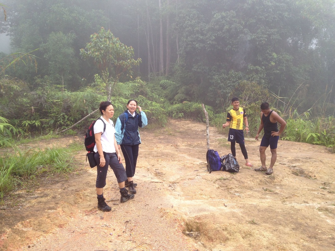
Once again the journey was too long and this time the path was very steep as well. After several hours, we finally made it to the narrow ridge that would lead us to the top. From the ridge I could see that there were other mountains nearby, but the mist was rolling in and our views were mostly obstructed. The guide showed us something in one direction and said that that was Gunung Hantu, the little sister to our Besar Hantu. I could vaguely make out something tall and imposing through the mist, but the view wasn’t clear.
Once again the journey was too long and this time the path was very steep as well. After several hours, we finally made it to the narrow ridge that would lead us to the top. From the ridge I could see that there were other mountains nearby, but the mist was rolling in and our views were mostly obstructed. The guide showed us something in one direction and said that that was Gunung Hantu, the little sister to our Besar Hantu. I could vaguely make out something tall and imposing through the mist, but the view wasn’t clear.
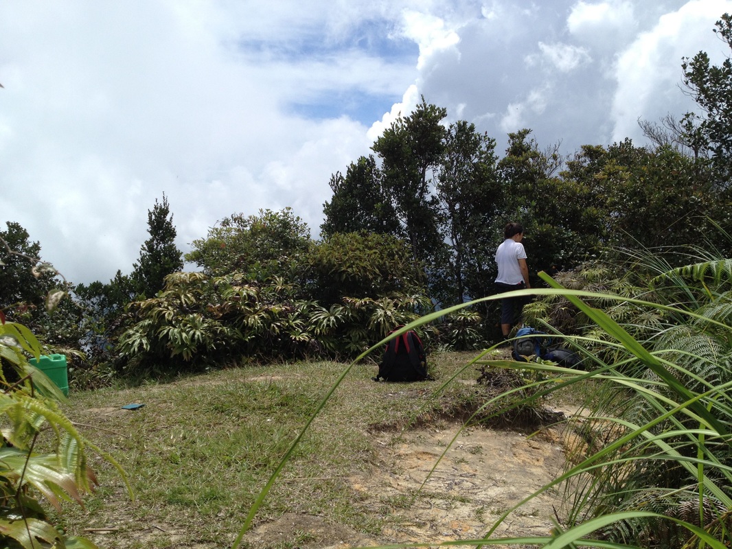
We made it to the peak, which had a plot of open space surrounded by low shrubs, almost like a tended garden. But with the mist, we couldn’t see much. After a quick rest and some food, we headed down. Another long journey the way we came. By the time we reached the road where the 4x4 was waiting, the jungle was getting a bit dark. And my legs were covered with leach bites.
I wasn’t meant to reach the peak that day, not even get to the trailhead really. But somehow we made it not only to the trail but also hit the top. I made two resolutions during the journey back in the 4x4: first, never climb Besar Hantu again, it really is devil extraordinaire. And the second is to obtain proper trekking clothes, especially the trousers. Jeans, denims, and heavy cotton trousers are the hikers' enemy as they are heavy, get even heavier with sweat, dew and rain, and present great resistance when repeatedly lifting legs when climbing.
Have kept my promise since :-)
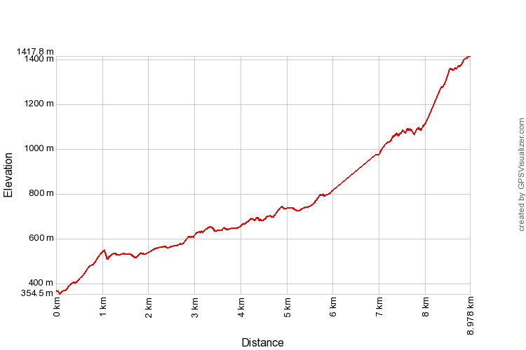
Trail Map and Data
| Location: | Jelebu |
| Distance: | 18 km (two way) |
| Duration: | 8:17 hrs |
| Average Speed: | 1.9 km/h |
| Min Elevation: | 355 m |
| Max Elevation: | 1418 m |
| Vertical Up: | 1224 m |
| Vertical Down: | 1224 m |
Related Posts
- Gunung Telapak Buruk
